FY26 Area Eligibility Map Updated
September 29, 2025

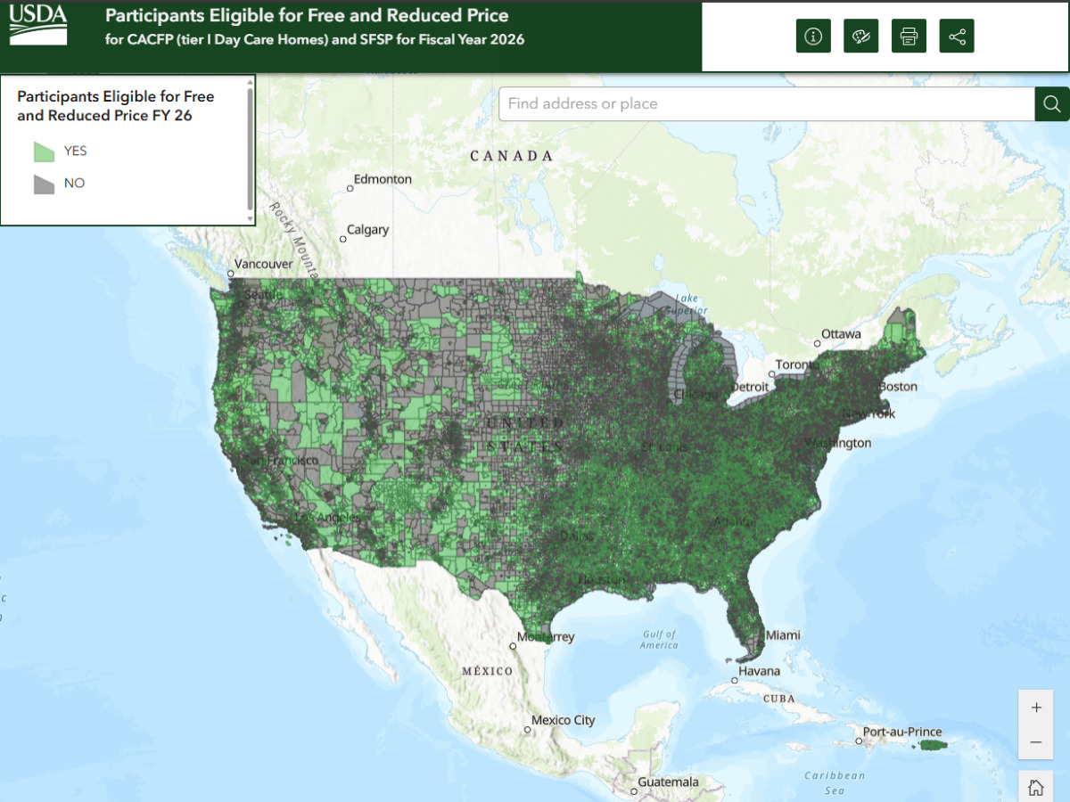
USDA announced that the CACFP and SFSP Area Eligibility Mapper has been updated for fiscal year 2026.
Why It Matters
Census data and school data are the two primary sources that may be used to determine whether a site is area eligible in CACFP and SFSP. Area eligibility is used to determine the tiering of family child care homes in the CACFP, as well as for every SFSP summer site. Once a site establishes area eligibility, the eligibility remains effective for five years.
Map Details
At the beginning of each fiscal year, USDA releases a special tabulation of American Community Survey data provided by the United States Census Bureau, which can be used to establish area eligibility in both CACFP and SFSP.
To make the data easier to use, USDA releases an interactive mapping tool, which reflects the updates.
The data set is also available for download on USDA’s open data site. To learn more about using census data for establishing area eligibility for CACFP and SFSP, review Area Eligibility in Child Nutrition Programs (CACFP 04-2017; SFSP 03-2017).
